
Nigeria, India, the United States, France, and Libya are not the only countries taking steps to strengthen maritime security and ensure the safety of their coastal areas. The Air Spaces Management Cluster under the Northern Corridor Integration Projects (NCIPs) is meeting in Kigali, Rwanda to discuss the implementation of Summit Directives on Air Spaces Management [9310e7ea]. The purpose of the meeting is to obtain updates on the status of implementation, progress made, and challenges to be resolved. The participating partner states will share status updates and fast track progress on Air Spaces Management. The meeting will also review documents such as the MoU on Sharing and Fusion of Air Traffic Control Surveillance data and the Operationalization of the MoU on Aircraft Accident and Incident Investigation. The 15th Summit of Heads of State of NCIPs is scheduled to take place in October 2024 [9310e7ea].
These efforts by Nigeria, India, the United States, France, Libya, and the Northern Corridor Partner States highlight the importance of strengthening security and collaboration in both maritime and airspace domains. By enhancing coastal and airspace surveillance, harmonizing regulations, and fostering international partnerships, these countries aim to ensure the safety of their waterways and airspace, promote economic growth, and combat maritime and aviation threats.
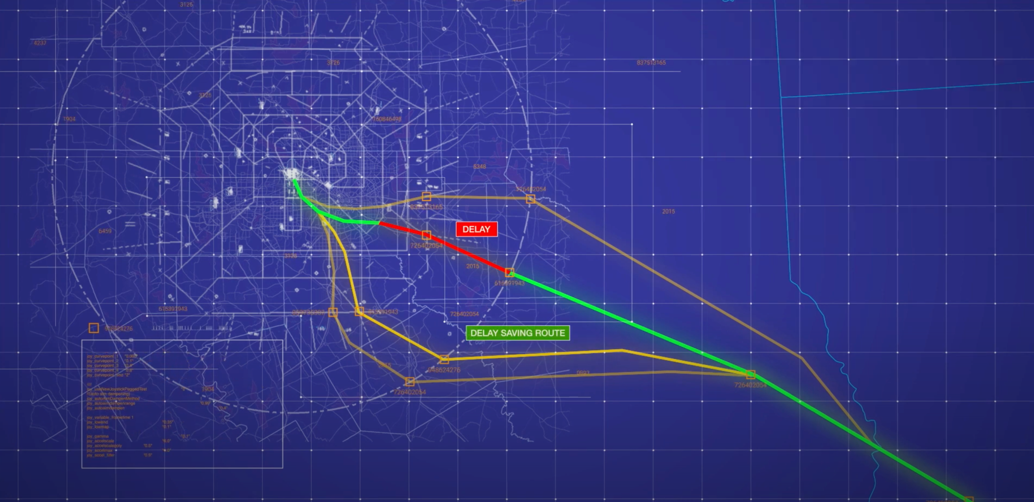
In addition to these initiatives, NASA has developed a resource called the Digital Information Platform (DIP) to assist air traffic managers in keeping airplanes moving efficiently through the skies. The DIP gathers and processes information about weather, potential delays, and more to support decision-making tools for the aviation industry. The platform hosts key data gathered by flight participants such as airlines or drone operators and will power additional tools that can save travel time. The DIP is similar to a smartphone navigation app, analyzing information from multiple sources to suggest the best route for aircraft. The platform is part of NASA's efforts to streamline and improve air traffic [e8b98e5d].